Troutmap - Green River Troutmap - ABC Combo, Flaming Gorge Dam To Swinging Bridge

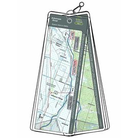
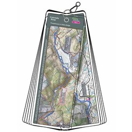
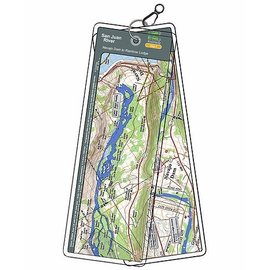
This Green River Troutmap is handheld and waterproof - Ideal for the fisherman, rafter, or kayaker.

Read more...
Quantity: 3

This bundled set covers the A, B and C Section of the Green River from Flaming Gorge Dam to Little Hole. The A Section is 7.2 river miles with several class 2-3 rapids and a river-side trail. The B Section is 8.3 river miles with one Class 3 rapid (Red Creek) and the C Section is 14.7 river miles with one minor rapid.


Features:

  • Laminated and waterproof maps that follow the river channel.
  • Individual maps are secured with a stainless steel split ring, and includes a snap hook that allows clipping to a cable retractor on waders or boat.
  • Cable retractor is not included, but is available for purchase on our website - click here for more info.
  • River features such as rapids, boat ramps, access points, campgrounds, and river camps are clearly shown.
  • Each map set contains an area map showing the general location of fly shops, shuttles, lodging, fuel and places to eat.
  • Approximate size:  printed map: 3-3/8 inches by 10-1/4 inches; laminated page: 3-3/4 inches by 10-1/2 inches.
0 stars based on 0 reviews