When you're planning a trip on the Green and Yampa Rivers in Dinosaur National Monument, this RiverMaps™ guidebook is a must have.
Read more...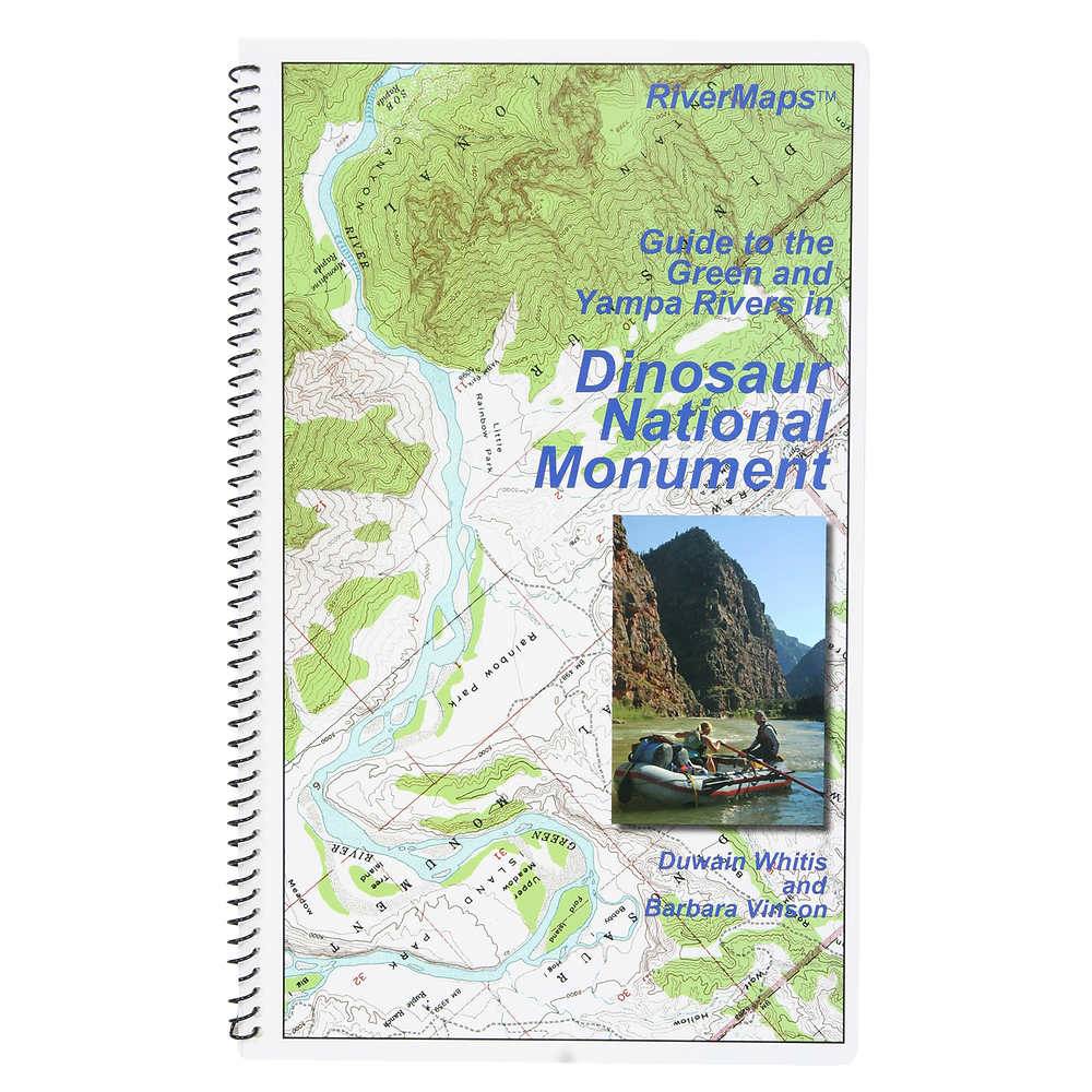


| Quantity: | 3 |
Product Details
Rivermaps Green and Yampa River Maps for the Green, Yampa and Dinosaur National Monument describes rapids and camps, and includes accurate USGS maps.
Covers both the 43 miles of the Gates of Lodore to Split Mountain section of the Green River and the 46 miles on the Yampa River's Deerlodge Park put-in to its confluence with the Green. Boaters on the Yampa float their final 25 miles on the Green River to the Split Mountain takeout.
RiverMaps guidebooks are made by river runners for river runners.
These large format books are printed on tough synthetic waterproof paper and spiral bound so they lay flat and can take the waves, splash and wear of a river trip.
Opened up, the left side page has mile-by-mile descriptions of major rapids, campsites and features of interest. There are also great color photos that illustrate the text.
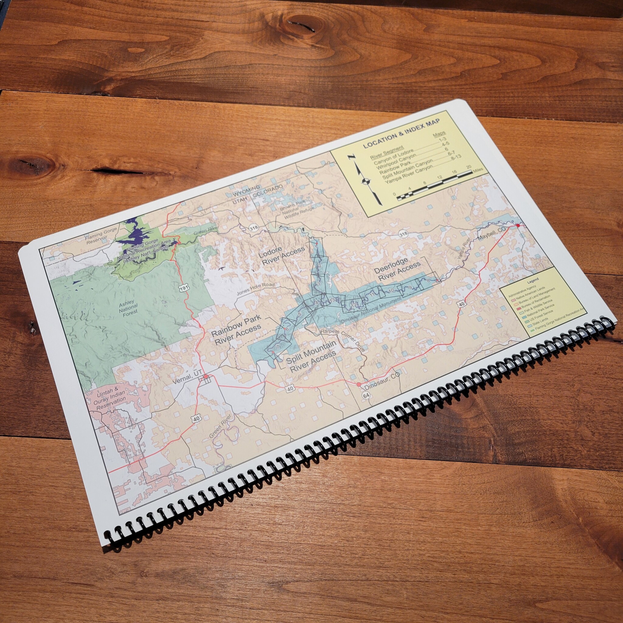
The right side page features color USGS topographic maps at the scale of 2,000 feet to the inch (1:24,000). There's no better way to keep track of where you are on the river.
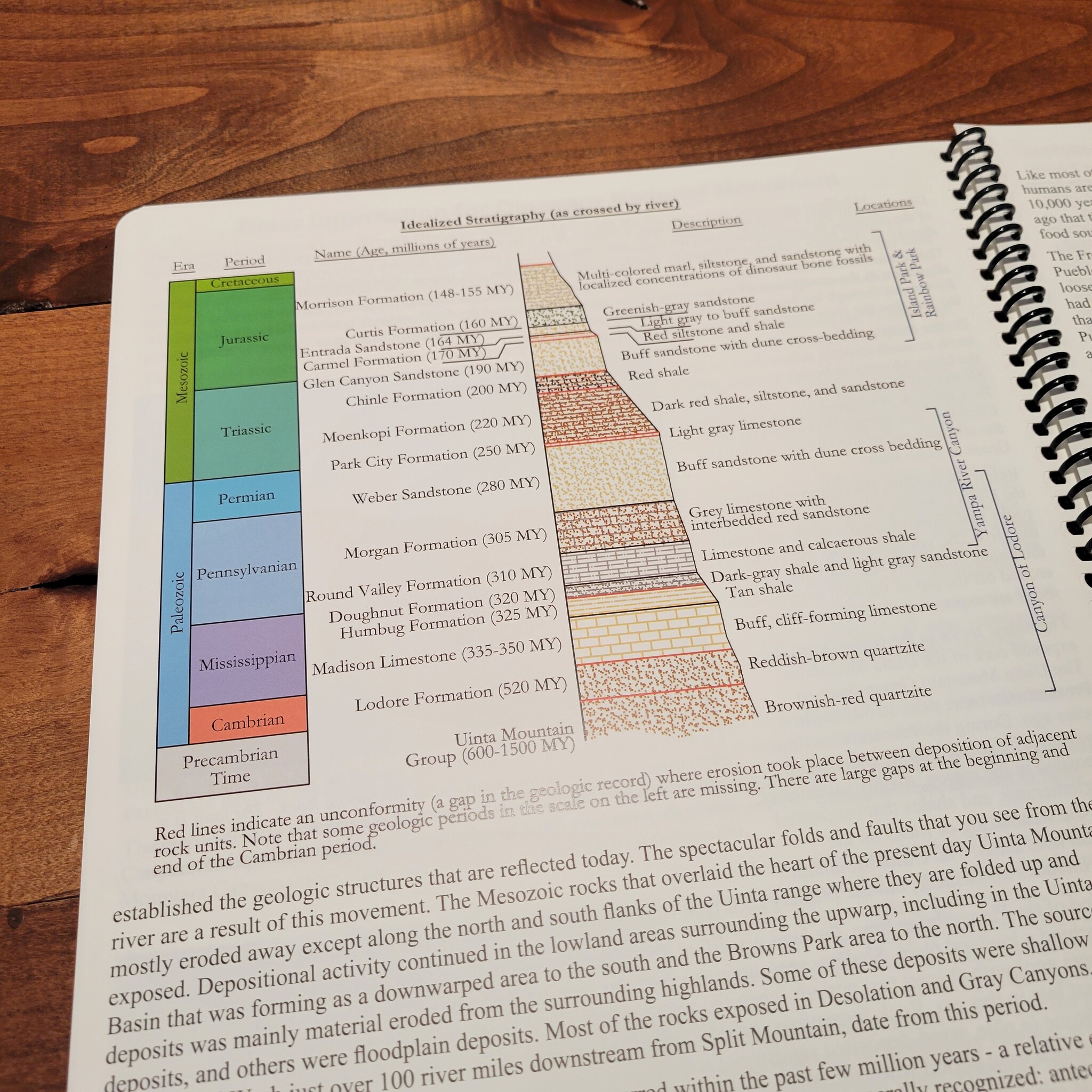
But wait, there's more. In the front of the book is lots of information about the rivers, the landscape and the flora and fauna.
The front eight pages are chock full of Park Service contact info and regulations, weather, geology, archaeology, history, ecology and resource protection wisdom.
No matter what other resources you have, this guidebook is really an essential tool for enjoying these magnificent river trips.
Authors: Duwain Whitis and Barbara Vinson
Published in 2013 by RiverMaps, 2nd edition
Number of Pages: 38 pages with 13 maps