With Map The Xperience we have helped create maps for your favorite regional fish rivers. Combining our expertise and local input, we have created maps that help you get the most of your adventure!
Read more...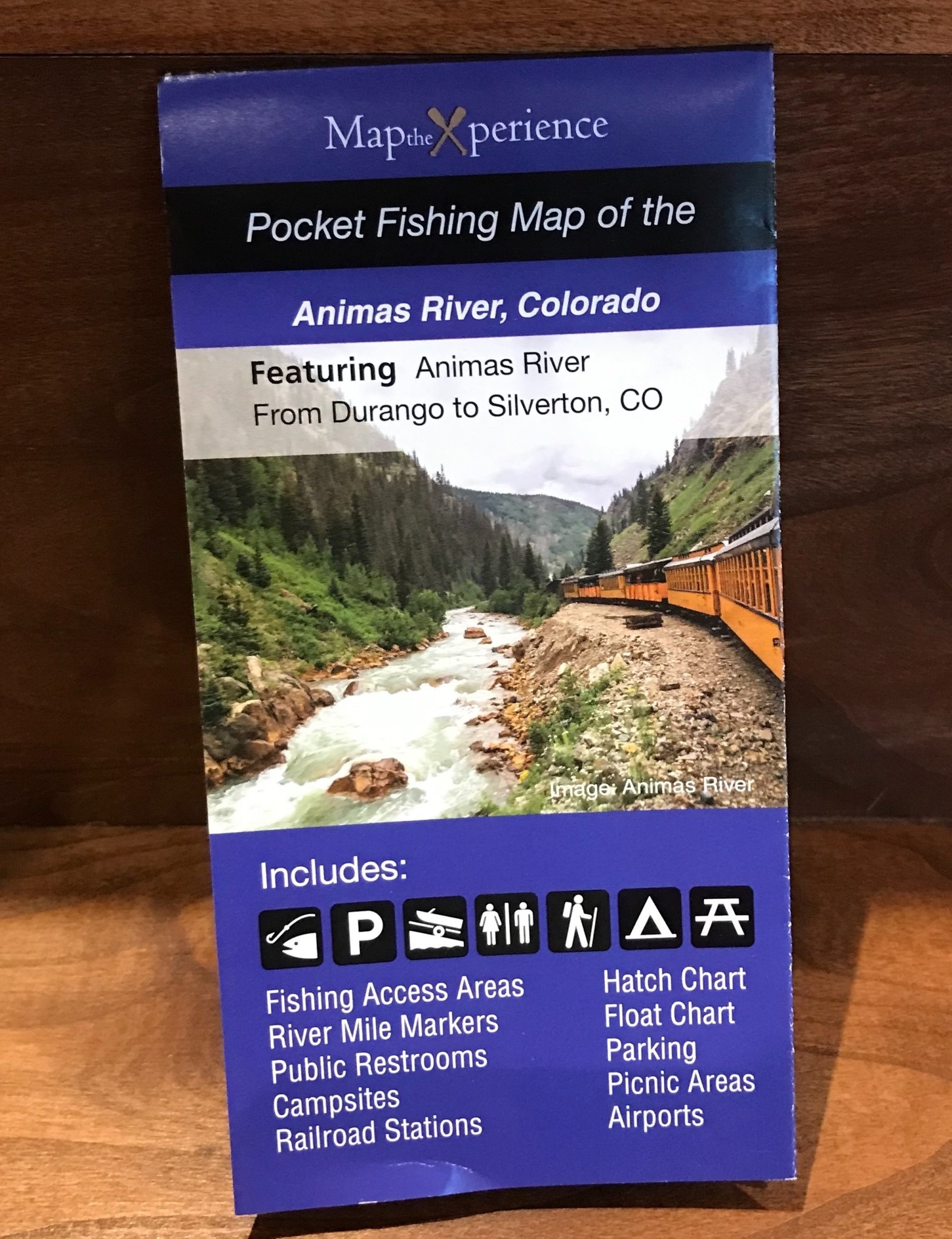


| Quantity: | 10 |
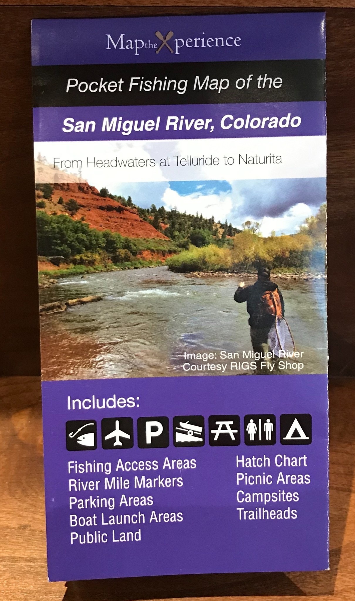
The San Miguel River Fishing Map covers over 50 miles from tits headwaters near Telluride down west through the town of Naturita.
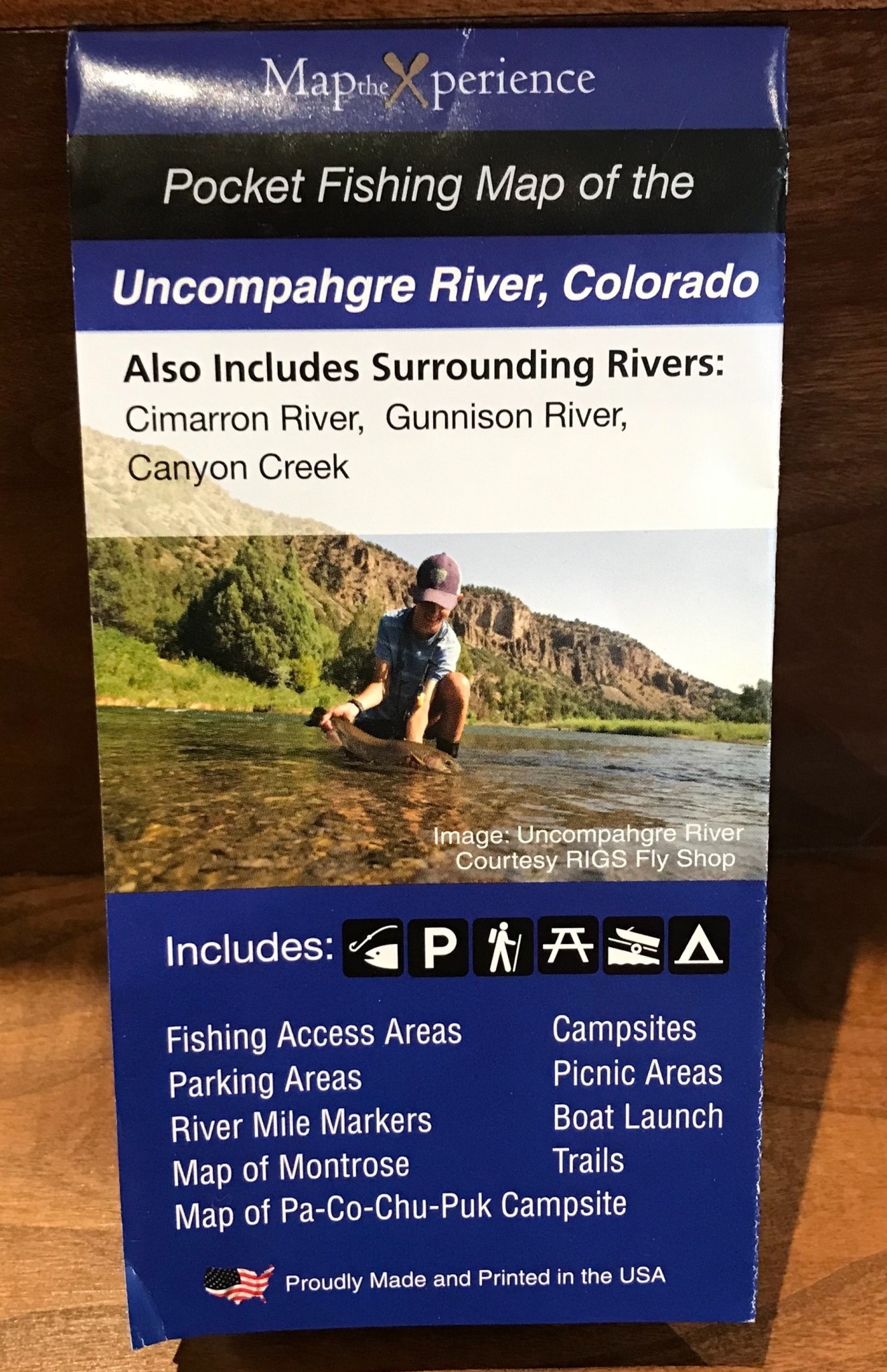
The Uncompahgre River Fishing map covers over 50 miles from it's mountainous headwaters in the south traveling north to the confluence of the Gunninson River. Includes detail maps of Montrose and the Pa-Co-Chu-Pak Campground. Also covers Canyon Creek, Cimarron River and Lower Gunnison through the Black Canyon.
Animas River Fishing Map in Colorado from Silverton to south of Durango. Includes detail map of Durango.
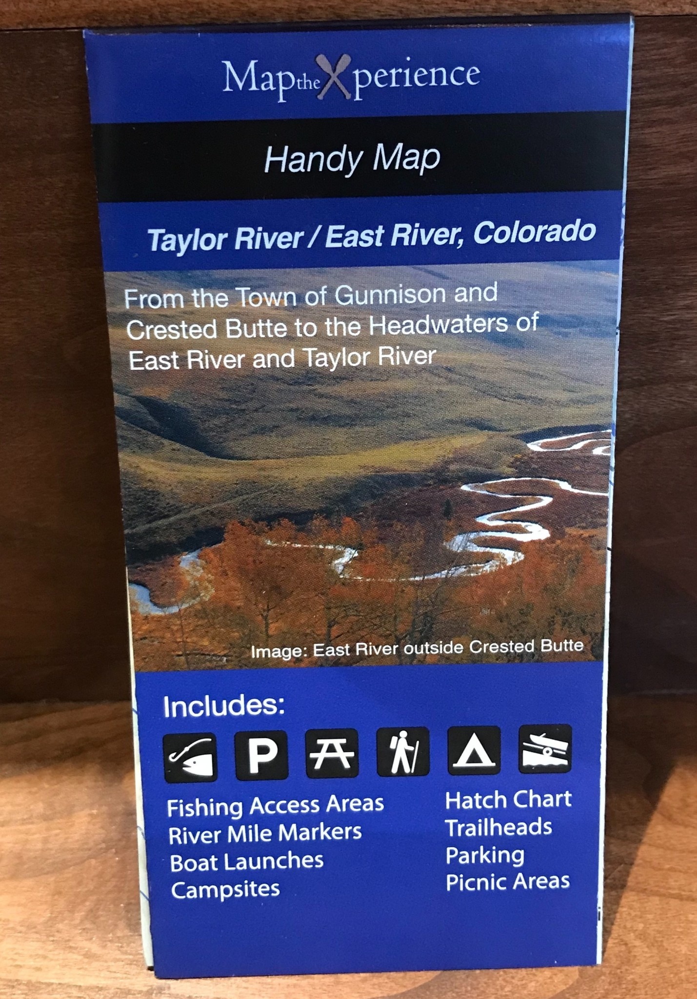
Map of all 50 miles of Taylor River in Colorado and includes all 40 miles of the East River to its confluences with the Gunnison River.
This spectacular and informative Gunnison River Paper Fishing & Fly Fishing Map covers the Gunnison River from from Almont, Colorado to Delta, Colorado and includes the the world famous Black Canyon of the Gunnison and the Gunnison Gorge.
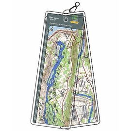
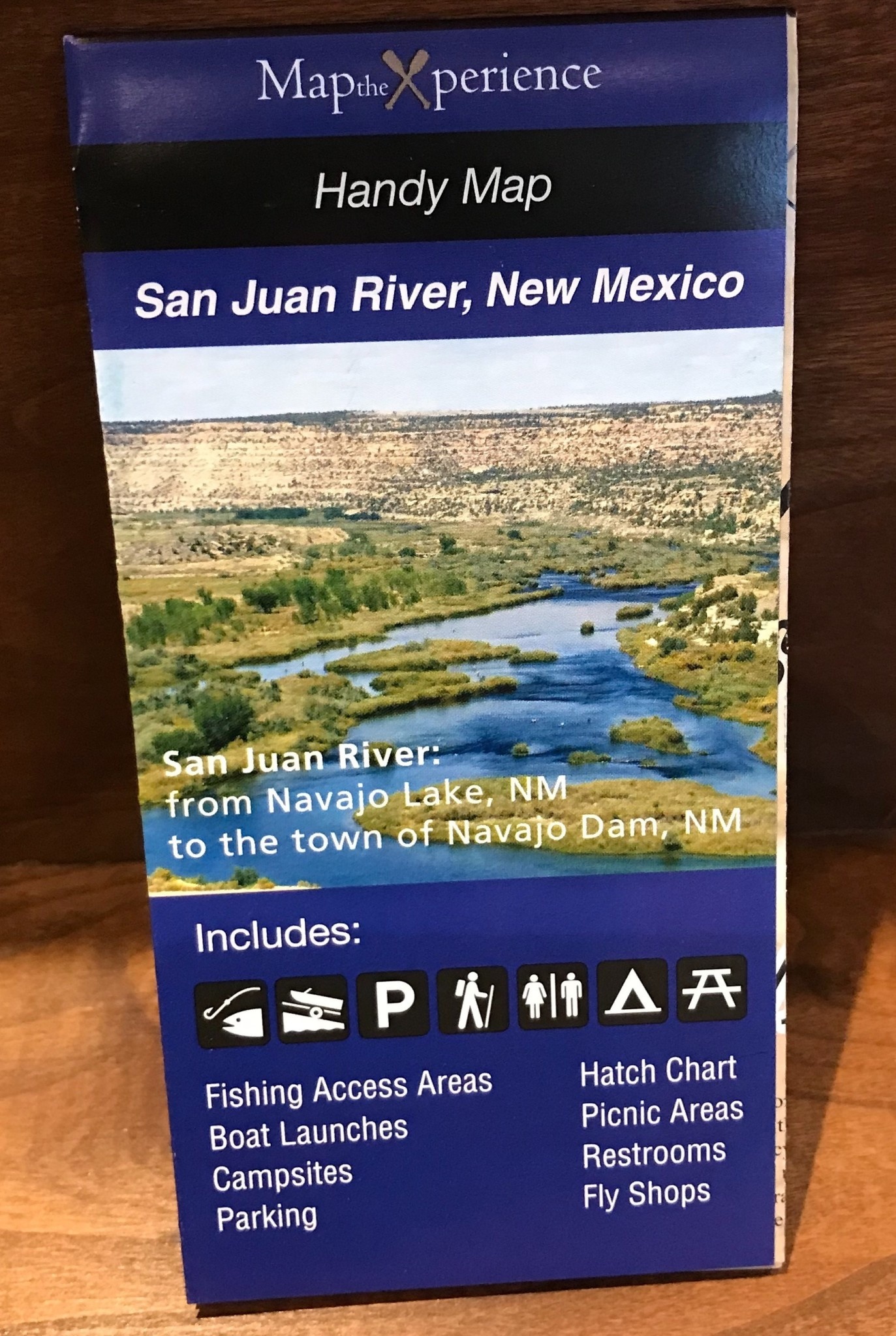
The San Juan River in New Mexico is a world class trout stream below Navajo Reservoir.
This spectacular digital gps accurate map depicts all public fishing access sites, boat launches, parking areas, trails, fishing hole locations and names, fly shop locations, insect hatch chart and fishing regulations.
Coverage area is from Navajo Lake to 5 miles downstream the San Juan River past the town of Navajo Dam.