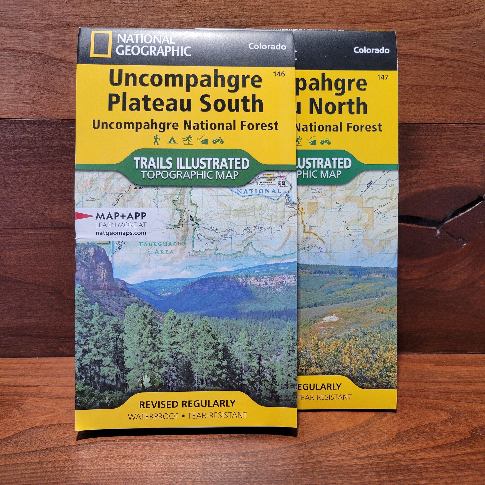
National Geographic's Trails Illustrated map of Uncompahgre Plateau South is created for outdoor enthusiasts exploring the year-round recreational opportunities in this unique area in southwestern Colorado.
Read more...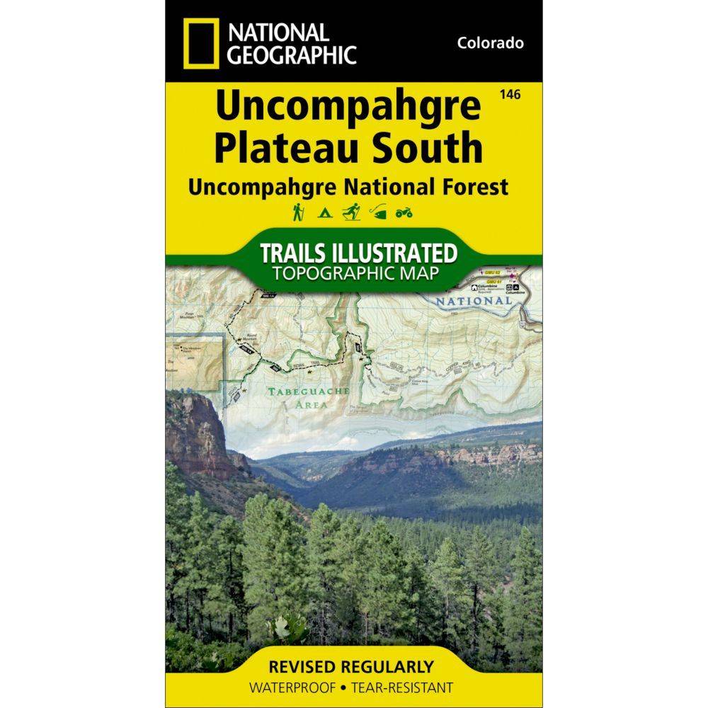


| Quantity: | 26 |
Expertly researched and created in cooperation with the U.S. Forest Service, Bureau of Land Management and others, the map provides unparalleled detail of southern Uncompahgre National Forest and River, Tabeguache and Roubideau Areas, Naturia Canyon, Wrights Mesa, Dan Noble and Dry Creek Basin State Wildlife Areas, San Miguel River and Canyon, Ridgway State Park and Tabeguache Trail.