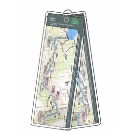
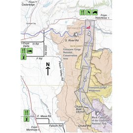
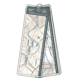
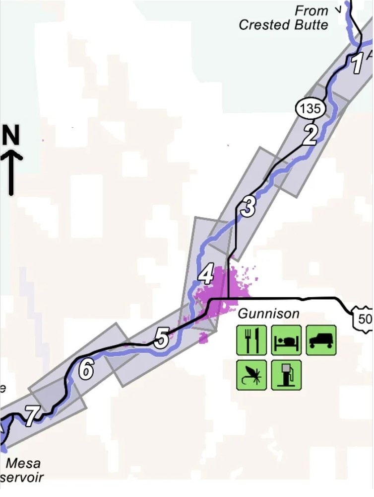
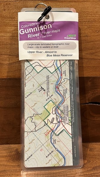
This map set follows Colorado's Gunnison River for 19.7 miles from Almont (just south of Crested Butte) through the town of Gunnison and on to the start of Blue Mesa Reservoir.
Read more...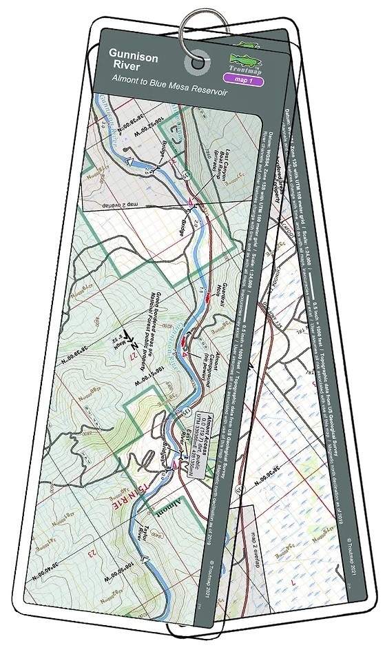


| Quantity: | 2 |