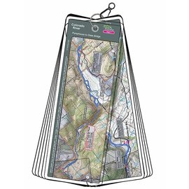
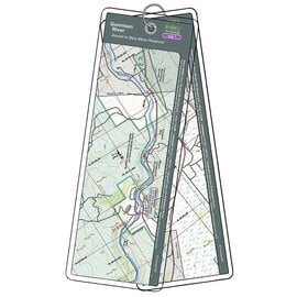
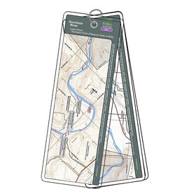
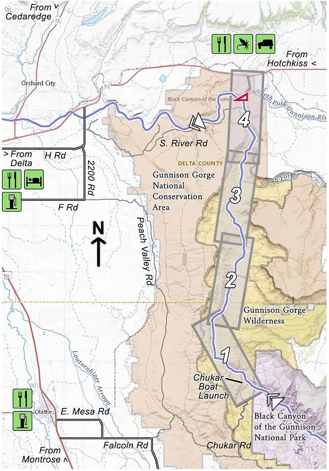
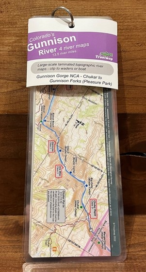
This map set follows Colorado's Gunnison River for 13.5 miles through the Gunnison Gorge Wilderness and the Gunnison Gorge National Conservation Area from the put-in at Chukar to the take out at Gunnison Forks (Pleasant Park).
Read more...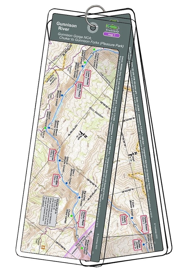
")
")
")
")
| Quantity: | 2 |
This map set follows Colorado's Gunnison River for 13.5 miles through the Gunnison Gorge Wilderness and the Gunnison Gorge National Conservation Area from the put-in at Chukar to the take-out at Gunnison Forks (Pleasant Park).
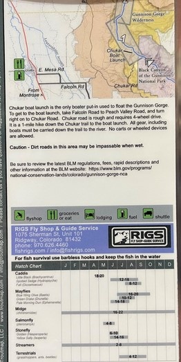
Everything (including boats) must be carried down the 1 mile Chukar trail to the put-in. No carts or wheeled devices are allowed, so this is no place for a drift boat. A total of 15 class 3 rapids and 2 class 4 rapids are on this stretch of river to challenge your boating skills. Fabulous scenery and fabulous fishing as well.
4 river maps, a rapids classification guide, and an area map