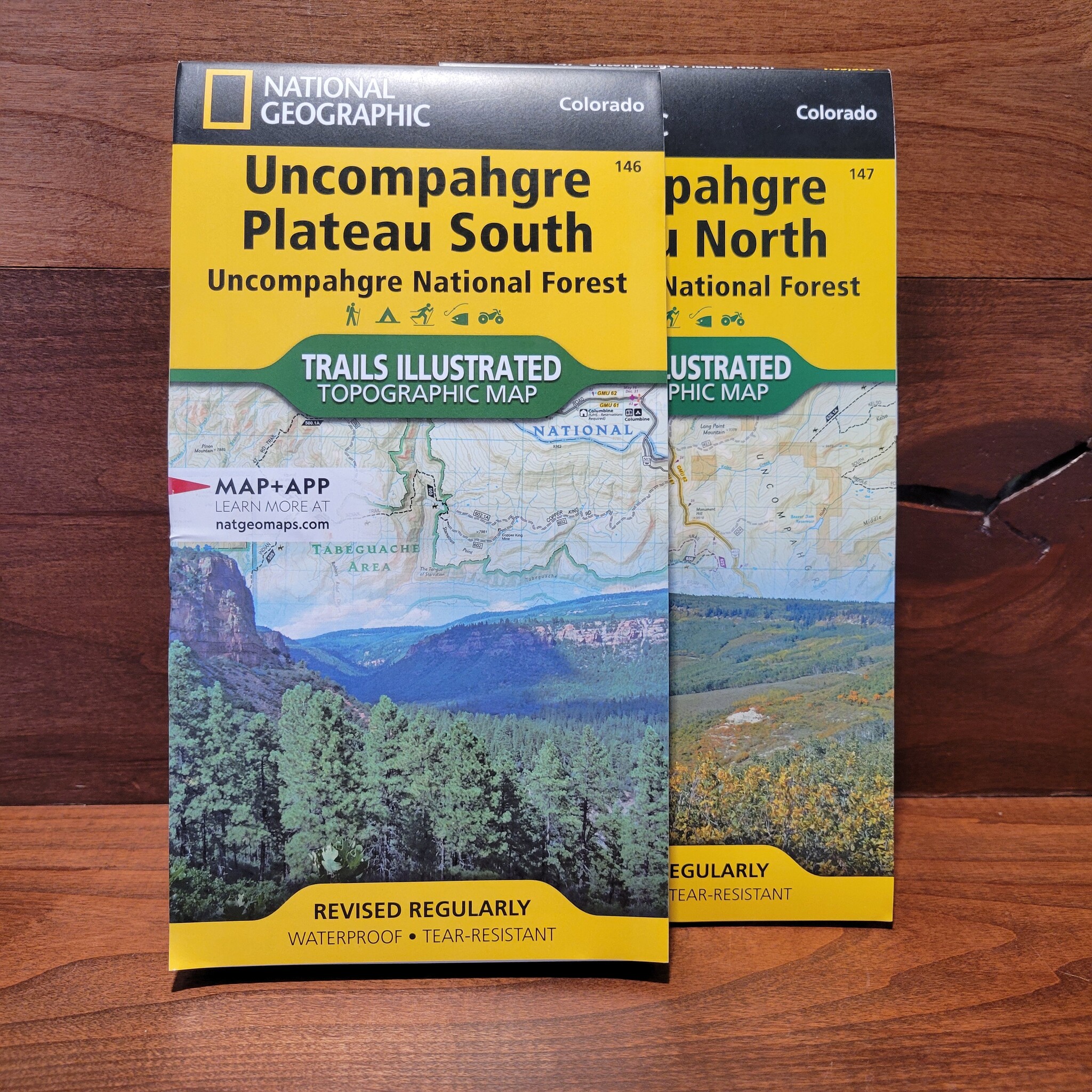
National Geographic's Trails Illustrated map of Uncompahgre Plateau North is created for outdoor enthusiasts exploring the year-round recreational opportunities in this unique area in southwestern Colorado.
Read more...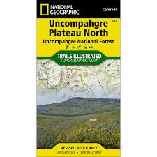


| Quantity: | 7 |
Expertly researched and created in cooperation with the U.S. Forest Service, Bureau of Land Management and others, the map provides unparalleled detail of northern Uncompahgre National Forest, Dominguez Escalante National Conservation Area, Dominguez Canyons Wilderness, Tabeguache and Roubideau Areas, Grand Mesa National Forest, Gunnison River, Unaweep-Tabeguache Scenic and Historic Byway and Tabeguache Trail.