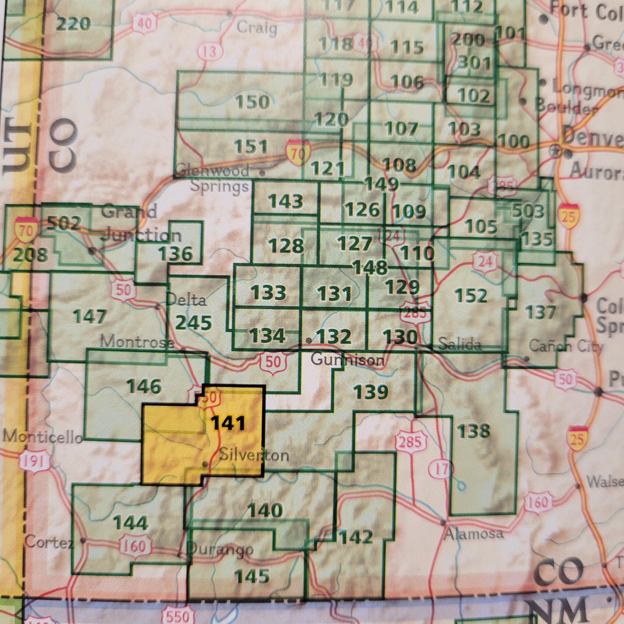
An illustrated map of Telluride, Silverton, Ouray, and Lake City provides an unparalleled tool for exploring this breathtaking region of Western Colorado.
Read more...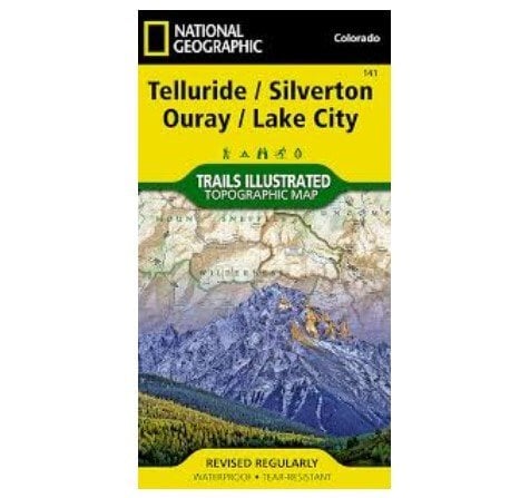


| Quantity: | 10 |
Expertly researched and created in partnership with local land management agencies, National Geographic’s Trails Illustrated map of Telluride, Silverton, Ouray, and Lake City provides an unparalleled tool for exploring this breathtaking region of Colorado.
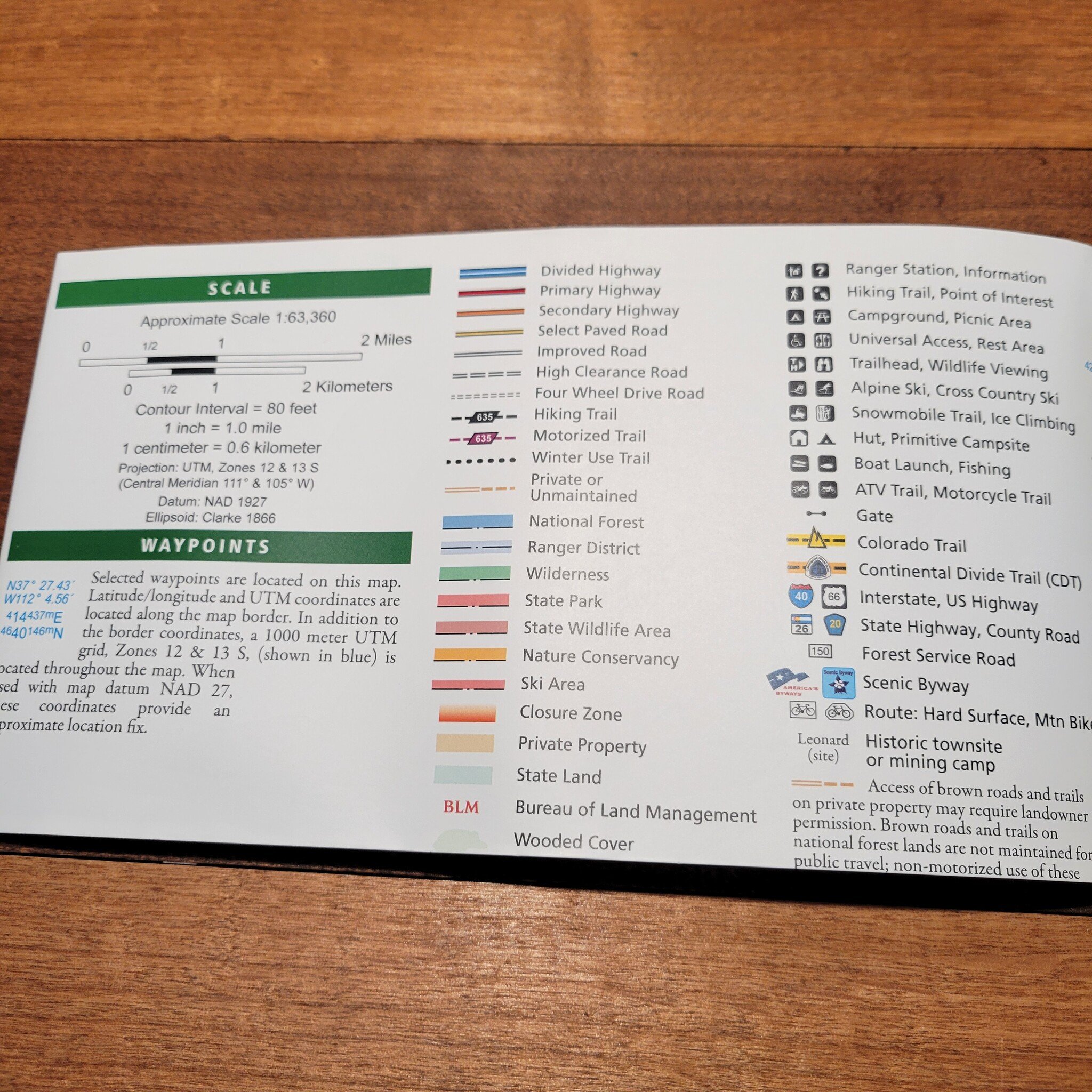
Whatever the season, you’ll find this map a useful tool in pursuing a host of recreational activities from skiing, snowmobiling, and ice climbing to camping, fishing, mountain biking, and ATVing.
The map includes information about these featured attractions: